
Roughly 500 geostationary satellites are currently placed in a static orbit (as viewed by a ground-based observer) about our planet at an
altitude ranging from 500 to 40,000 kilometers. The closest satellites orbitting the planet are believed to be spy satellites whereas most
distant are the geostationary group of satellites with an instrinsic magnitude of 11 or greater. As a result, due to their distance and faint
magnitude, geosats may be classified as the DSO's of the satellite world. At their high altitude not only can they virtually view the complete
globe below them but they also have the unique characteristic of having their orbital speed closely match the rotational speed of the earth
and, as such, give the impression to a ground-based observer of being stationary above the planet. These satellites have a wide range of
applications and functions and include remote sensing (Meteosat, GOES-East and GOES-West, GMS etc) and such telecommunication functions as
direct broadcast voice and video communications as well as live television coverage (Astra, Hot Bird, Telstar etc) by virtue of the fact they
can beam their signal from a "fixed" point in space relative to a ground source.
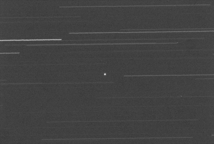
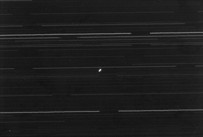
Note: Hellas-Sat 2, a joint venture between Greece and Cyprus, was launched from Cape Canaveral, Florida on May
13, 2003 and in anticipation of broadcasting the 2004 Summer Olympic Games in Athens. It weighs 3.45 tons and broadcasts across Europe,
the Middle East and North Africa using 30 Ku-band transponders.
|
NORAD ID: 27811 Common Name(s): Hellas-Sat 2 Int Code: 2003-020A Location: 39.0° East Perigee: 35,772.1 km Apogee: 35,814.3 km Inclination: 0.0° Period: 1,436.1 min Launch Date: May 13, 2003 Origin: Greece |
|
Date: Mar 05, 2010 01:01 - 01:34 UT+2 Location: Athens, Greece Equipment: AP 160 f/7.5 StarFire EDF AP 1200GTO GEM SBIG ST-10XME SBIG CFW10 Baader IR Pass Integrations:
Image Scale: 1.17" per pixel Temperatures:
Software: CCDSoft V5.00.188 CCDStack V1.6.0.5 Photoshop CS2 |